A Saint-Hilarien once said to me: “you’re not really from here if you haven’t climbed to the top of the Arbizon!”
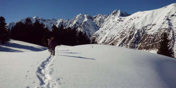
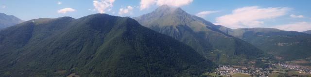 Arbizon seen from the Valley
par Hugues ENOND
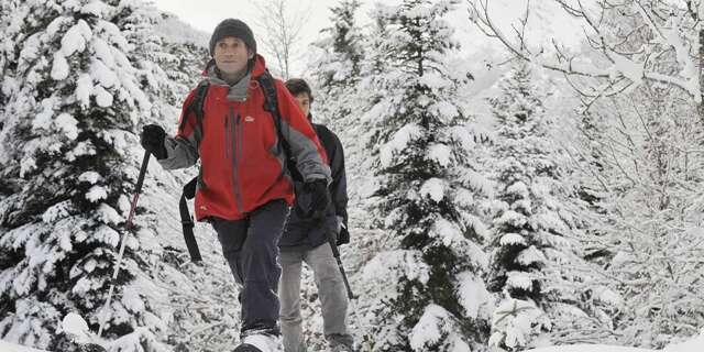
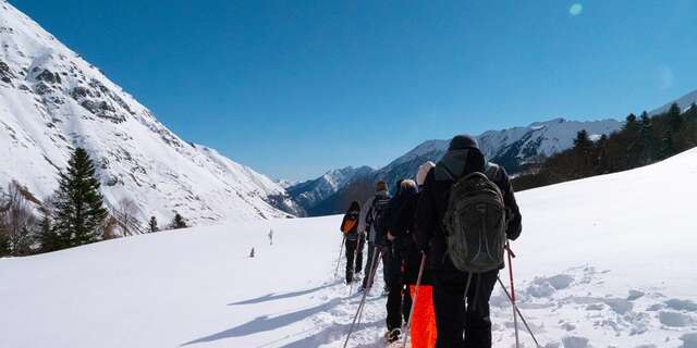
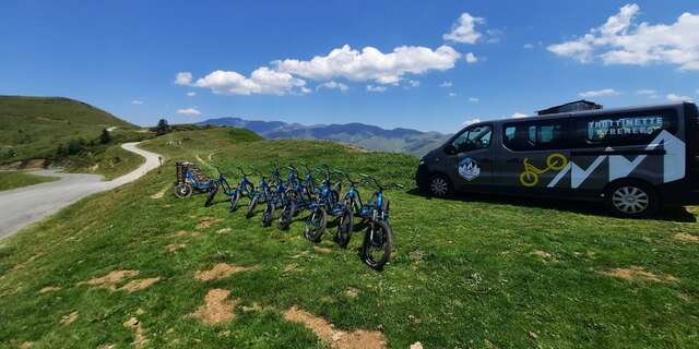
 Rando Rouge 1
So I decided to climb up there as soon as possible…and as I know some of you can’t make it, I propose to take you there through this story, these photos and this video…
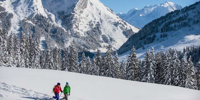
His long crête de l’Arbizon, perpendicular to the Vallée d’Aure is very recognizable in winter, when you’re skiing on the Saint-Lary slopes. And you can also see it from the valley, especially if you go to the small village of Grailhen, located on the opposite slope.
There are two ways to hike to the Arbizon: from Hourquette d’Ancizan along a path I’m told is quite steep, or from the Granges de Lurgues high above the beautiful village of Aulon. To get there, take the road leading to Aulon in the village of Guchen, between Arreau and Saint-Lary Soulan. In the right-hand bend at the foot of the village of Aulon, take the small road on the left that leads to the Granges de Lurgues, 3km away. This takes you to the parking lot. The difference in altitude from the parking area is around 1,430 meters: not everyone can make the climb, but if you’re not sporty, there’s nothing to stop you from walking the lower part of the path – the Lavedan valley is very pretty!
The stony path initially winds smoothly between chestnut trees, facing Pic Mail, quiet in the early morning. The walk is very pleasant and I’m lucky enough to spot a deer lunching in a small clearing on the opposite slope.
After 30 minutes, I reach the junction with the path leading to the Auloueilh hut: I squeeze to the right and up a slightly steeper slope, but without difficulty, I reach the Espigous hut and its sheep pen. A glance back allows me to admire the colors of the ridges visible at the bottom of the valley, already bathed in sunshine.
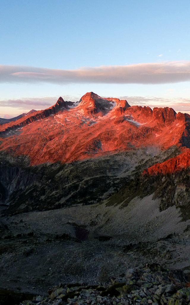
 Arbizon sunset laetitia
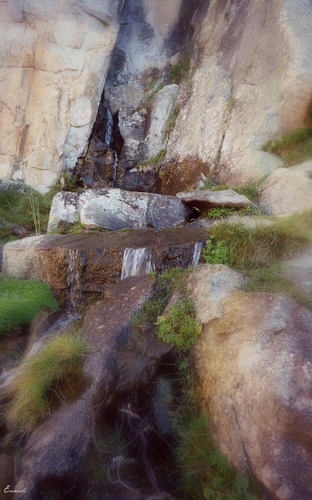 Arbizon fountain of Coulariot
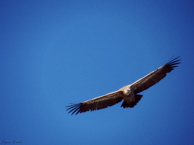 vulture 2
 izard 2
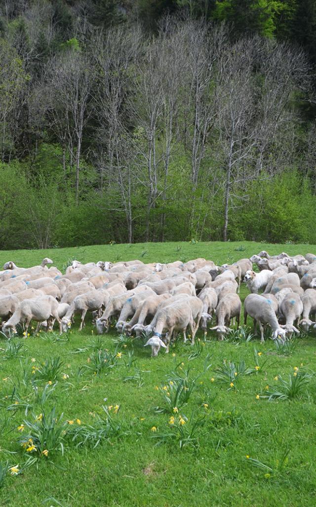
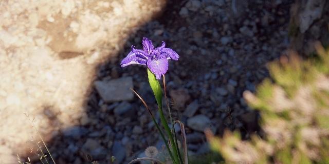
After 45 minutes and the hut I leave on my left, I have to slow down my steps: things are getting serious! The path runs alongside a torrent that’s fairly calm at this time of year, in an open, grassy valley. I barely disturb the numerous sheep. Faded further down the valley, the straggling Pyrenean iris finally offer me magnificent colors under the first raking sunbeams, which finally join me for this magnificent day.
I finally reach the Fontaine de Coulariot, which literally gushes out of the rock. It’s about halfway along the trail and the perfect place for a welcome first break.
After catching my breath, I set off again, climbing two successive chimneys (chimneys are steeps located between rocks, where you sometimes have to put your hands) before a flat spot that offers apretty view over the valley, but also towards the Pla d’Adet and thegranges de Gascouéou.
The final ascent begins in numerous switchbacks enabling you to climb this impressive slope. I immediately stop my advance when I hear a noise: this type of terrain is perfect for observation as the slightest movement causes pebbles to shift. On the ridge to the right, above me, an isard has also spotted me and is heading for shelter under a rocky bar.
We watch each other for a few moments before the arrival of a couple behind me avert their gaze. He lies down to reveal only his head, and watches them. I wait for them, pointing out the lair of our discreet neighbor and allowing them to enjoy this encounter.
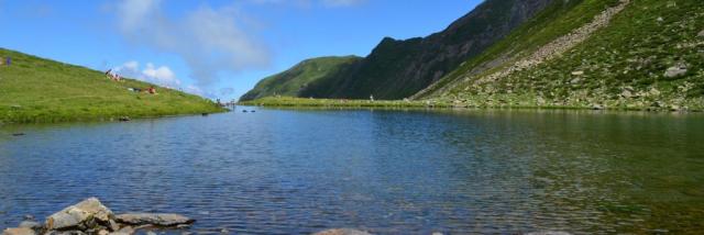
I finally reach the ridge halfway between the Pic de Montfaucon and l’Arbizon, whose summit I can finally see, hidden until now. The moon sets discreetly in the west behind Pic d’Aulon. Just above me, two vultures soar from valley to valley. At my feet, the vertiginous valley plunges down to the small Lac d’Arou: a magnificent vantage point!
I pick up the path that runs along the ridge a few meters below, on the rocks, and after forking off to my left, I finally reach the summit. An unsightly relay antenna and its solar panels mark the western end, while 5 cairns sit enthroned on the broad dome (cairns are heaps of stones designed to mark hiking trails or summits. Many hikers add their stone to these edifices when they have the joy of reaching them…) The largest cairn is impressive at around 2.5 metres. My ascent will have taken about 3h30.
After covering myself a little more warmly (it’s not cold, but the perspiration under the rucksack imposes this precaution), I begin the observation. To the north, the plain comes into view, with a cloudier sky in the distance. Bagnères de Bigorre is clearly visible and I can make out Tarbes without any problem.
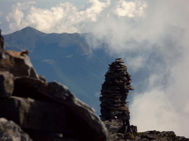 Arbizon summit kern
 Arbizon seen from the Valley
In the foreground, the lac d’Arou is surrounded by herds, and the lac de Payolle marks the start of the Campan valley.
More to the west, the Pic du Midi de Bigorre and its observatory stand out from the massif.
Continuing my tour, I contemplate the Grand Vignemale and its glacier in the distance. Next, the majestic Pics de Néouvielle, Pic Long, Pic de Campbieilh hide the famous Brèche de Roland, but the more distant Monte Perdido massif imposes its limestone mass, set against its white glaciers. My gaze then stops at the Barroude walls, from which the Pic de Troumousse and Pic de la Munia emerge. The refuge is hidden, but I can see the end of the lake.
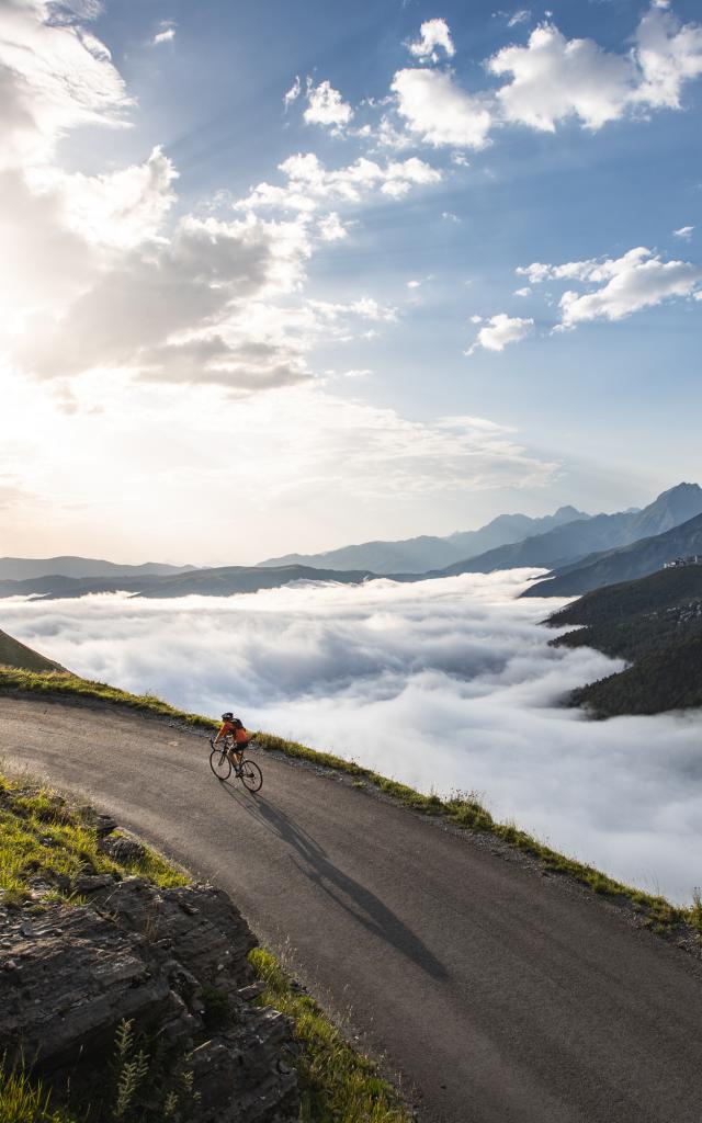
And then, on the east side, the clouds that have preceded me don’t allow me to observe the massif clearly, revealing only a few undulating shadows. The Vallée d’Aure is also hidden, and only Arreau is visible below. Despite this minor drawback, the view is grandiose and I settle in for lunch, eyes wide open!
After long minutes of observation, which I used to take numerous photos and film the incessant ballet of clouds, I pick up my rucksack and begin the descent with these wonderful images preciously preserved in my mind. Further down, the isard is still well ensconced on its lookout and follows my gaze on the descent. If the ascent is physically difficult, the descent is impressive, and the scree requires particular attention.
Once past this sector, I take another look towards the Pla d’Adet, once again visible beneath the clouds, and continue this journey to the fontaine de Coulariot, where I decide to quench my thirst: the water here is very cool but excellent! I set off again.
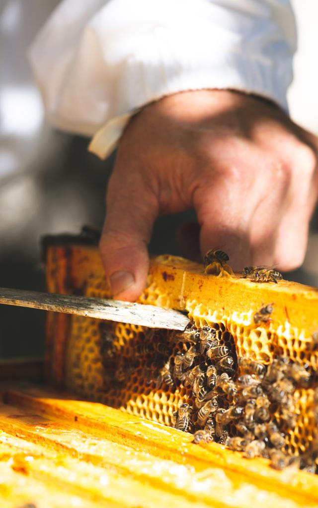
Sheep watch me join the valley, bees forage on the many thistles near thecabane d’Espigous: the atmosphere at the end of the season is magical under a radiant sun, and the last few meters that bring me closer to the Granges de Lurgues are already making me nostalgic for these magnificent landscapes. I leave the Granges de Lurgues parking lot as several shepherds gather there with their dogs: the flocks are on their way back to the sheepfolds…
And I reach Saint-Lary, my chest puffed out: I’ve done the Arbizon!
 P1050052-1
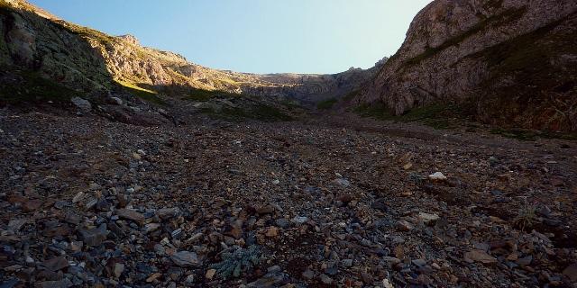 Arbizon stonework
 Panoramic Arbizon