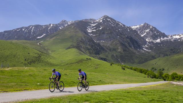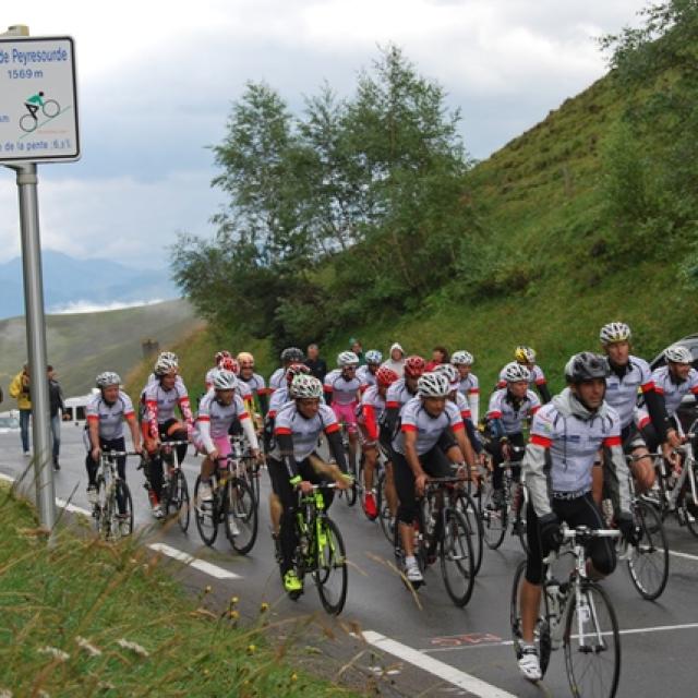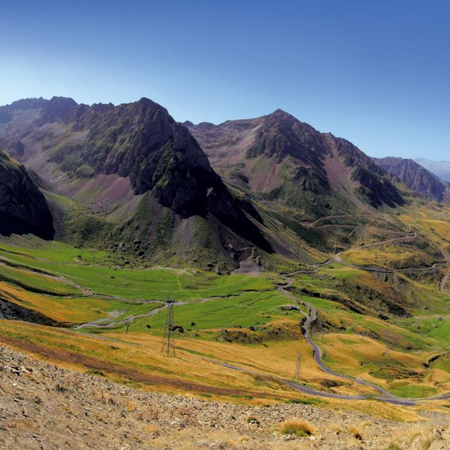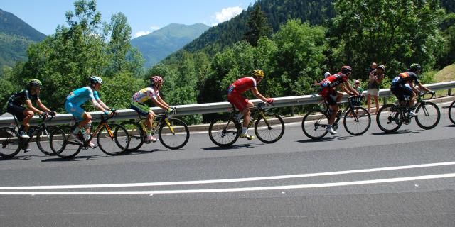
On the road to the Tour de France
Since 1947, this pass has been crossed 20 times during stages of the Tour de France.
Identity sheet
- Start altitude: 652 m
- Finish altitude: 1,002 m
- Cumulative positive ascent: 735 m
- Distance: 9.1 km
- Average gradient: 7.2%
- Level: difficult
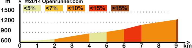 profile-3458154
Col de 1ère catégorie.
Ascent through the woods and to see the Cascade de Sidonie.
About 1h20 for the ascent.
Provide drink and supplies.