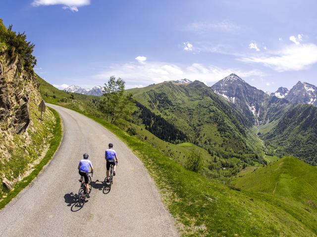
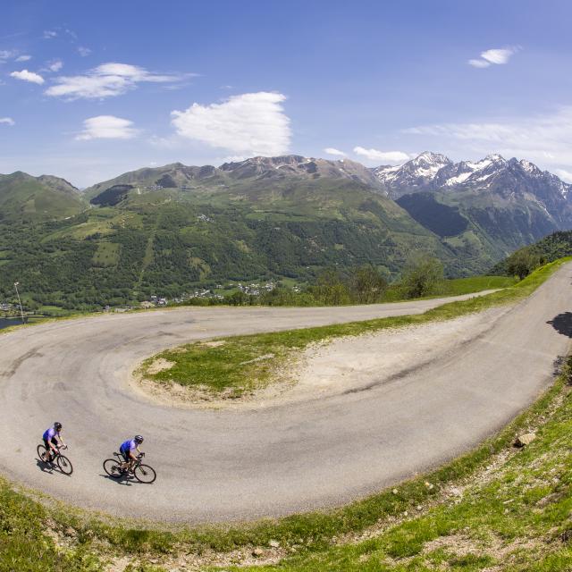
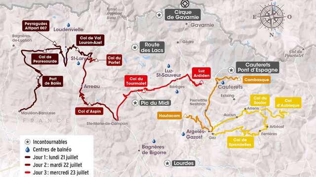
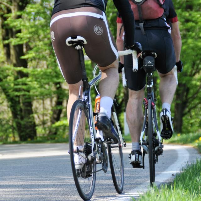
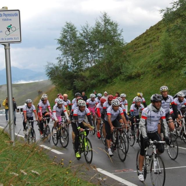
Surrounded by breathtaking scenery, the Col d’Azet links the Aure and Louron valleys. A little-traveled road in the middle of pastures, it’s a regular stage of the Tour de France.
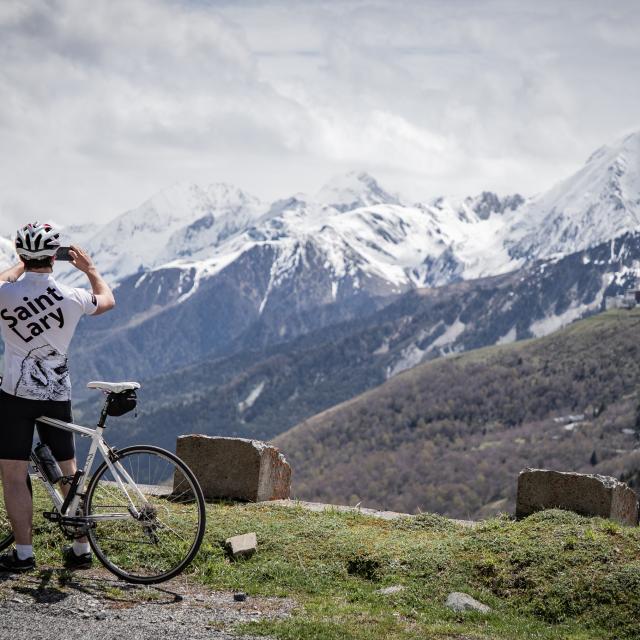
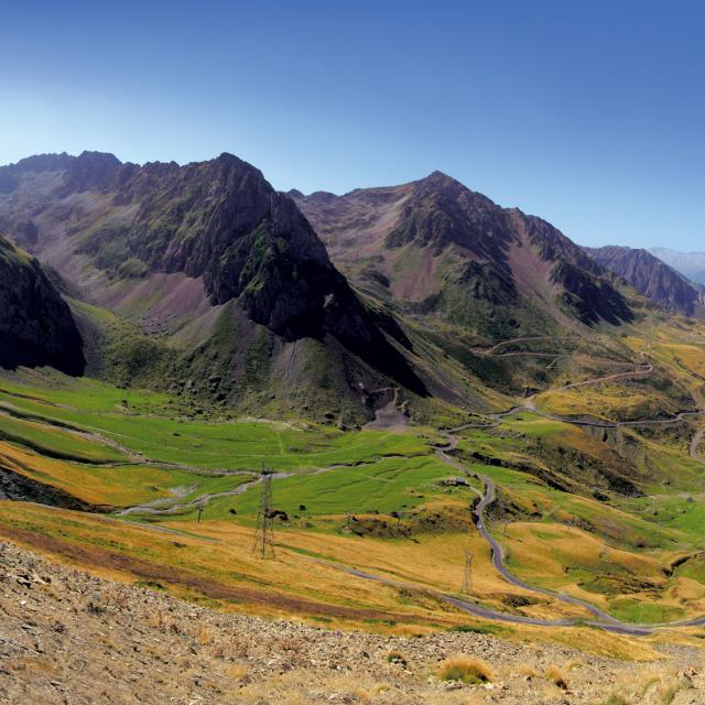
Once at the summit, you’ll be level with the Val Louron resort, at 1580 m altitude. You can then admire the Saint-Lary resort with the Pla d’Adet on the west side and the Peyragudes resort on the east side.
Identity sheet
- Start altitude: 866 m
- End altitude: 1,590 m
- Cumulative elevation gain:997 m
- Distance: 10.6 km
- Average gradient: 7%
- Level: difficult
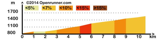 profile-3436678
The ascent to the pass is longer on this side (12 km). It starts at an altitude of 827 m with an average gradient of 7% and ends at 1,580 m, i.e. 753 m of ascent.
Ask for about 1 hour for the ascent.
Beware of the wind on arrival, the pass is well cleared.